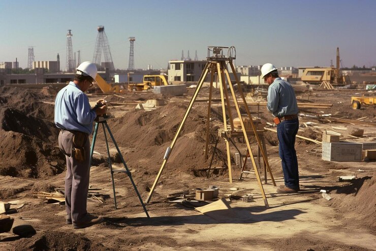
Surveying & Mapping
- Home
- Surveying & Mapping

Surveying & Mapping Services
At SMART Drone Services, our advanced drones provide precise surveying and mapping solutions for various industries. Using high-resolution imagery and thermal technology, we create detailed topographic maps, 3D models, and accurate land surveys. Whether for construction planning, land development, or environmental monitoring, our services deliver reliable data quickly and cost-effectively. Trust us to capture the insights you need to make informed decisions and streamline your projects with unparalleled accuracy and efficiency.
Our Surveying & Mapping Capabilities
Topographic Surveys
Our drones provide detailed topographic surveys, capturing the natural and man-made features of a landscape with exceptional accuracy.
3D Mapping & Modeling
We create high-resolution 3D maps and models that offer a realistic view of your site. These models are perfect for visualizing projects, planning infrastructure,
Why choose us
Why Choose Our Surveying & Mapping Services?
Precision & Accuracy
Our drones are equipped with the latest technology to ensure the highest level of precision in data collection and mapping.
Efficiency & Speed
Our drones cover large areas quickly, reducing the time needed for data collection and allowing your project to stay on schedule.
Customizable Services
We work closely with you to understand your specific needs and tailor our services to provide the data and maps you require.


